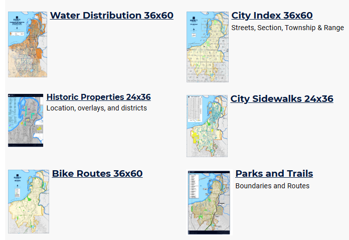
Six of the nearly two dozen maps available to download and explore in the Printed Map Gallery.
Wondering where the bike routes are in Everett? Here’s the link.
The City of Everett actually has nearly two dozen maps that can be zoomed, cropped and downloaded that include everything from which streets have sidewalks to where the public art is located, approved retail marijuana locations to historic properties, an index of the city’s streets to Everett Transit bus routes and stops.
Here’s a link to the City of Everett’s Printed Map Gallery.
Most of the maps are formatted for 11 x 17 though some may be larger. If you’d like to have a close up look at the city this is a great place to start.


August 20, 2019
Everett Government